v1.9 [Dec 16, 2015]
- Added ability to export tracks as Google Earth KML files. The tracks are time tagged so you can scroll through your route using Google Earth’s time.
- Movie will now pause when user clicks Export Movie button.

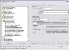
Visualizes telemetry data from RC modeling, displays GPS data with Google Maps.